Haverinen-Varisjärvi hiking trail
The Haverinen–Varisjärvi trail is the right choice for those who want a longer hike. The excursion is crowned by the magnificent Varisköngäs waterfall. The length of the whole trail is approx. 30 km, and the length of the trail around Varisjärvi is 9.2 km. The trails are marked on the trees with green and white paint.
It is also possible to visit Varisköngäs separately. You can reach the waterfall along the marked path from the parking lot along Aittokoskentie 17. The section of the trail marked in orange on the map is in poorer condition. Terrain markers are missing and the path can be difficult to see, and there can also be fallen trees on the route. The shorter route from Aittokoskentie (marked on the map with a dashed line) to Varisköngäs waterfall is okay, and its use is recommended when going to trail.
The distance to the waterfall is approx. 300 m in one direction.
https://visitsuomussalmi.fi/en/brochures-and-maps/
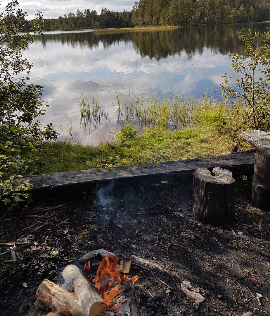
Camping structures (the long route 30 km):
There are seven campfire sites and two shelters along the entire 30 km route.
Accessibility:
There is no winter maintenance on the route.
Driving directions:
Full circuit, 30 km: The starting point of the 30 km long trail is Suomussalmi municipality, in the backyard of Hotel Kiannon Kuohut.
Address of the departure point: Jalonkatu 1.
Varisjärvi route, 9.2 km: The Varisjärvi trail is located west of the center of Suomussalmi. Drive along Kyröntie for approx. 4.5 km in the direction of Puolanka and turn left at the crossroad of the ski center. The starting point of the route is Haverinen ski center.
Departure address: Haverisentie 7