Kalmosärkkä Prehistoric Trail
Kalmosärkkä and its findings invite you to learn about the settlement and history of Juntusranta. The place is a narrow sandbank over a kilometre long. Kalmosärkkä is a prehistoric habitation site, inhabited as early as 6000 years before the beginning of our calendar in the early Stone Age. Later in the historical period, the Sandbank served as a temporary cemetary for the dead, from where they were transported to the churchyard. This is where Kalmosärkkä as “Cremational sandbank” got its name.
There have been many archeological finds at Kalmosärkkä, such as stone axes and arrowheads. Various excavations have also been found at the site, some of which are hunting pits from the Stone Age.
During the Winter War, Kalmosärkkä also served as a battlefield. At the south-western end of Särkkä there was a Finnish defence line. The charging of the Red Army was halted at Kalmosärkkä. Some of the firing positions can still be seen in the landscape.
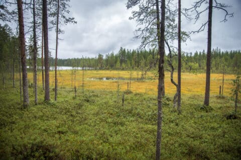
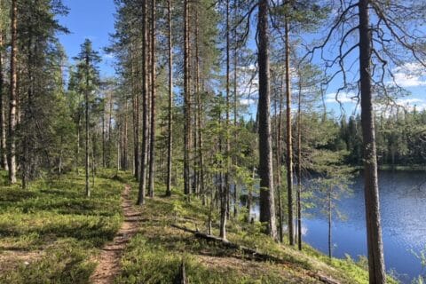
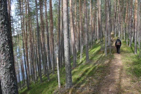
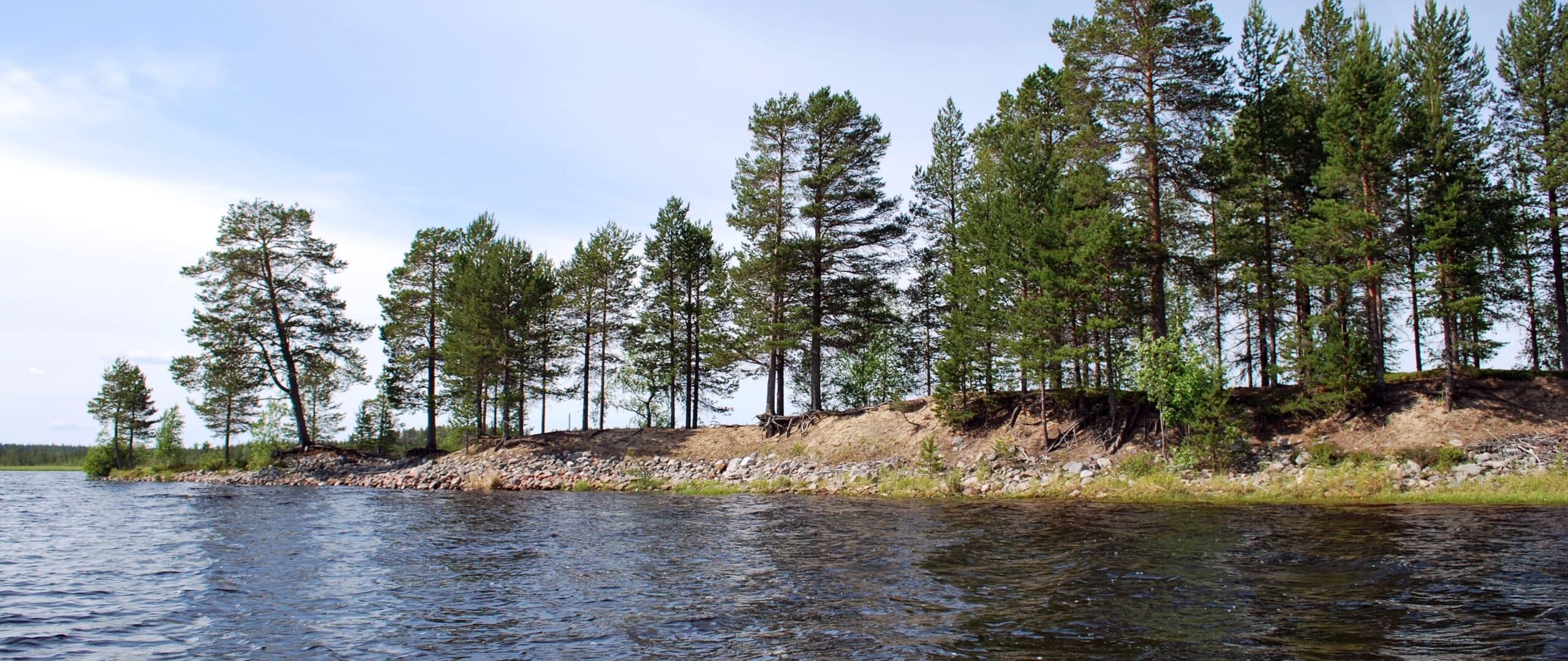
From the parking lot, there is a marked route through the forest to Kalmosärkkä. Before the actual sandbank, there is the magnificent Kokkosuo which is to be crossed upon walkable planks. From the car park it is about 1.3 km to the Sandbank. In addition, the Sandbank itself is about 1.2 km long.
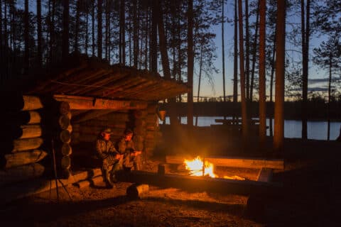
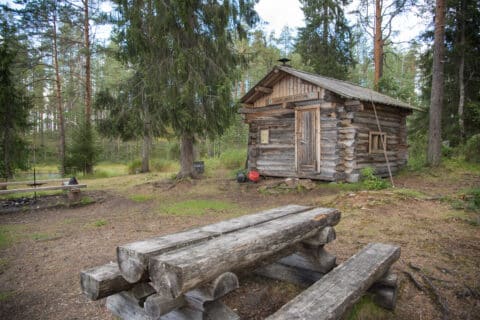
(Signposts, two fireplaces and two toilets).
There have been many archaeological finds at Kalmosarka, such as stone axes and arrowheads. Various excavations have also been found at the site, some of which are hunting pits from the Stone Age.
During the Winter War, Kalmosärkkä also served as a battlefield. At the south-western end of Särkkä there was a Finnish defence post. The advance of the Red Army was halted at Kalmosärkkä. Some of the firing positions can still be seen in the landscape.
Route:
From the parking lot, there is a marked route through the forest to Kalmosärka. Before the särkkä, there is the magnificent Kokkosuo, crossed by longitudinal trees. From the car park it is about 1.3 km to the särkkä. In addition, the särkkä itself is about 1.2 km long.
Hiking structures:
Signposts, two fireplaces and two toilets.
Accessibility:
There is no winter maintenance on the trail.
Driving directions:
Drive north from Suomussalmi centre on the Viitostie (E63) for about 46 km. Then turn right into Hallasenahontie and drive about 20 km. Turn right onto Nuolentie and drive for about 5 km. On the left side of the road is a parking area and a signpost.